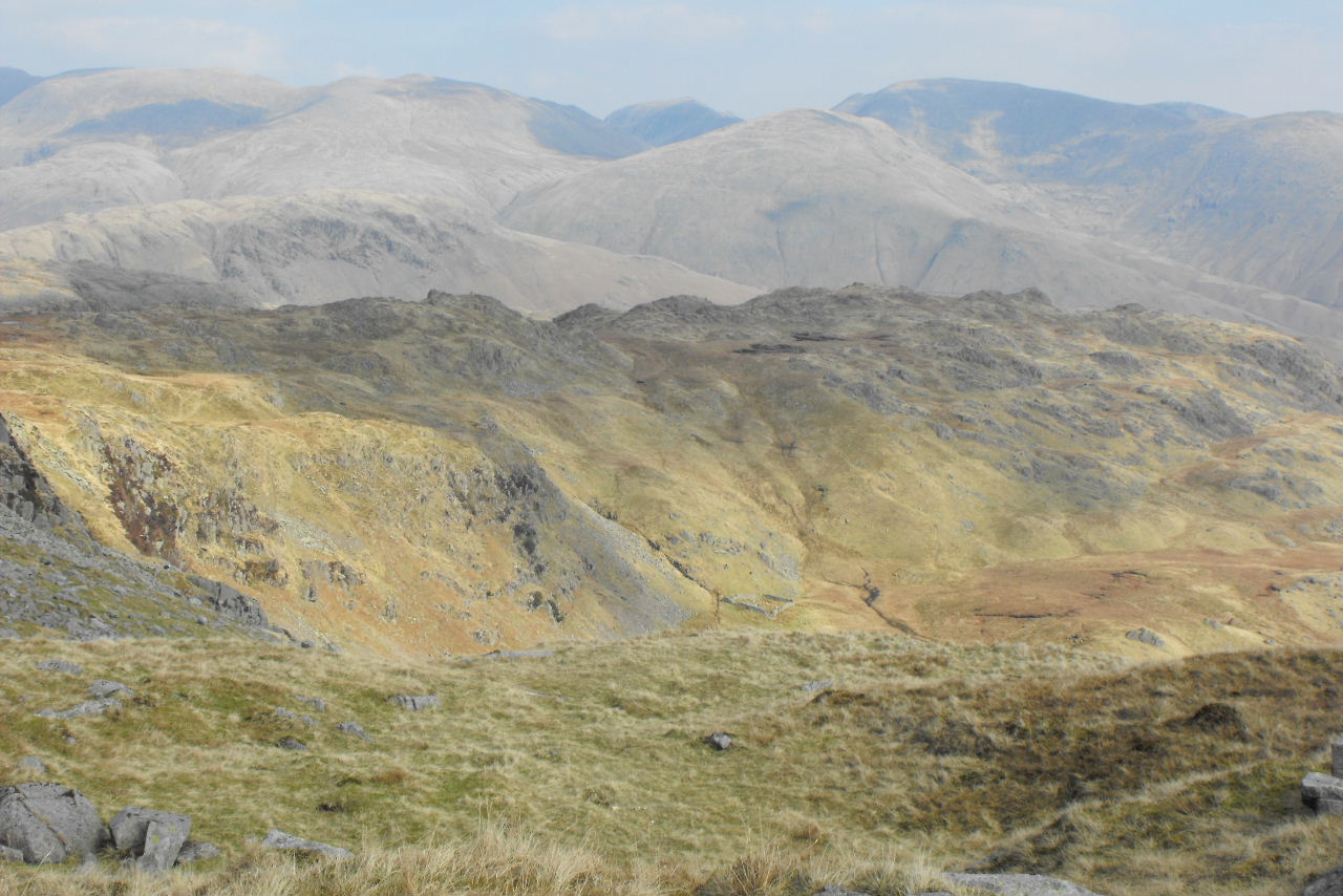
On Monday we set off south to the parish of Broughton (near Coniston) to complete three footbridge surveys. Two of them were ones we did the last year, the other we should have done but couldn't park close. This time we parked up just over 1/2mile away from where the footpath meets to road & walked to it from there. The roads in this area near Broughton Mills are the narrowest we have come across so far with lots of hills & very few passing places. Looking across the valley with Caw in the distance

Lind End farm, a steep descent down to it & the footbridge was at the bottom of the valley where the tree line is

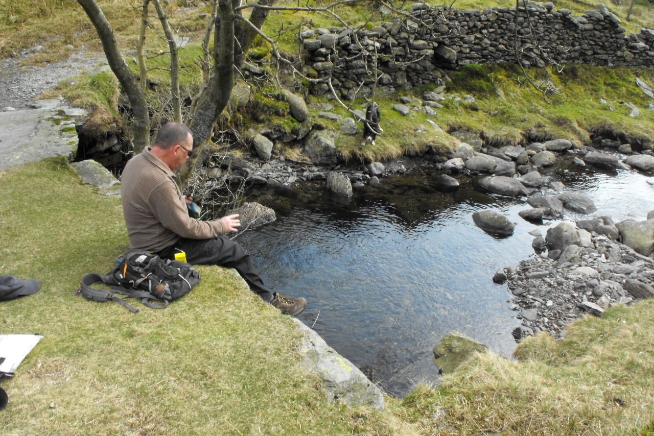
Lind End bridge

A grand old bridge


Looking up the River Lickle

And down to a whirlpool under the bridge

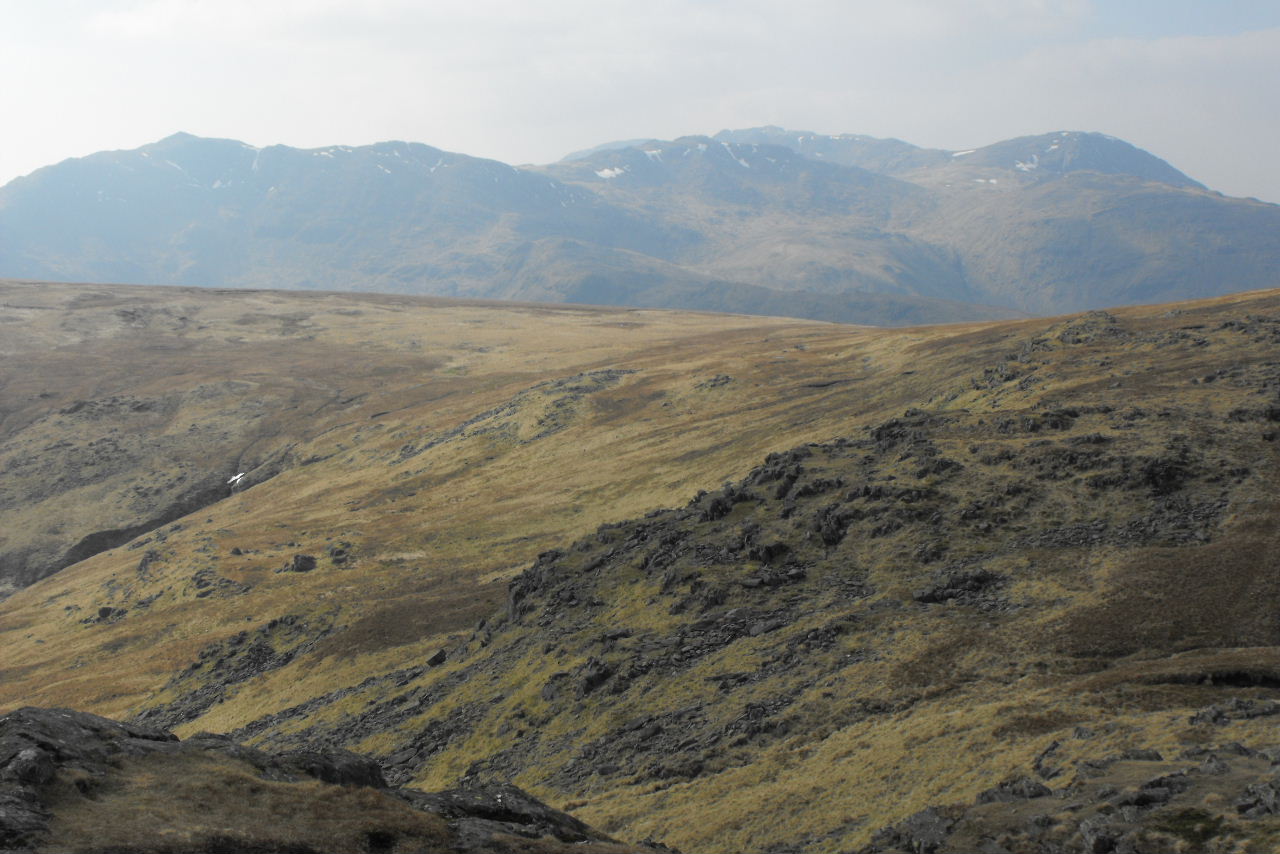
We then drove a short distance to walk to the next two. We are not sure why these have come up in March as we only did them in October, but they have. The Knott, when we were here before it was misty, but today was lovely

The walk is 2miles on forest tracks

Walna Scar we were surprised it is only a Wainwright outlier & not one of the main fells as it is 621m high

Our next bridge

And a suitable lunch spot

And lastly Natty Bridge

Karen stayed the other side of the fence with Crag as it is a steep drop off at the bridge

Looking down those stones may well have been an old stone bridge that crossed lower down

It was a 4mile round trip to the bridges & we were soon glad to be back driving on the "big" roads again.
 Bernie drilling holes in the bridge whilst Andy is sanding away
  Karen is let loose with the power sander
  Dave, Steve, Karen & Bernie
  The lads collect big stones
  And like with the stone walling picking the best one for the spot
  Nearly finished
 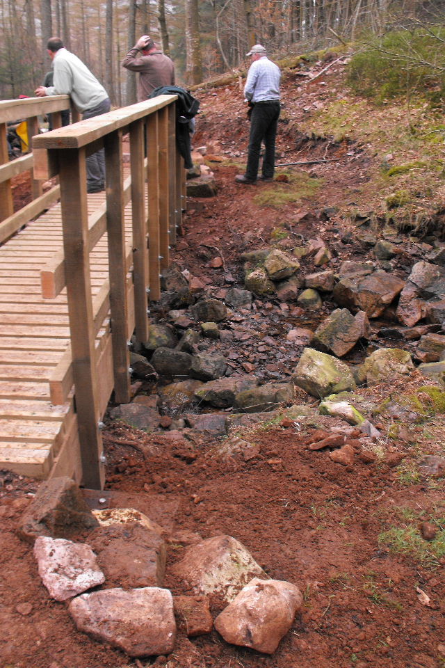 Gareth came up to inspect our work & took the next two pictures of us all
  Bernie, Steve, Karen, Dave & Andy
  Steve has been with us for 3 months working hard for both Wild Ennerdale & the National Park work parties, but sadly this was his last work party as he is returning to St Albans next week, all the best Steve & hopefully we will see you again one day. (Appologies for the layout of the three posts we have put on today but it seems Blogspot is having a bad day!)