 Looking up at Cockrigg Crags we were to walk to the left of these
 A balanced boulder
 Guess this is no different to when AW walked this over 50 years ago!

Looking down on Thirlmere & Great How

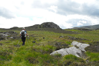
Once we exit the trees it is quite a marshy landscape with no distinctive paths
 The summit is one of the peaks over there
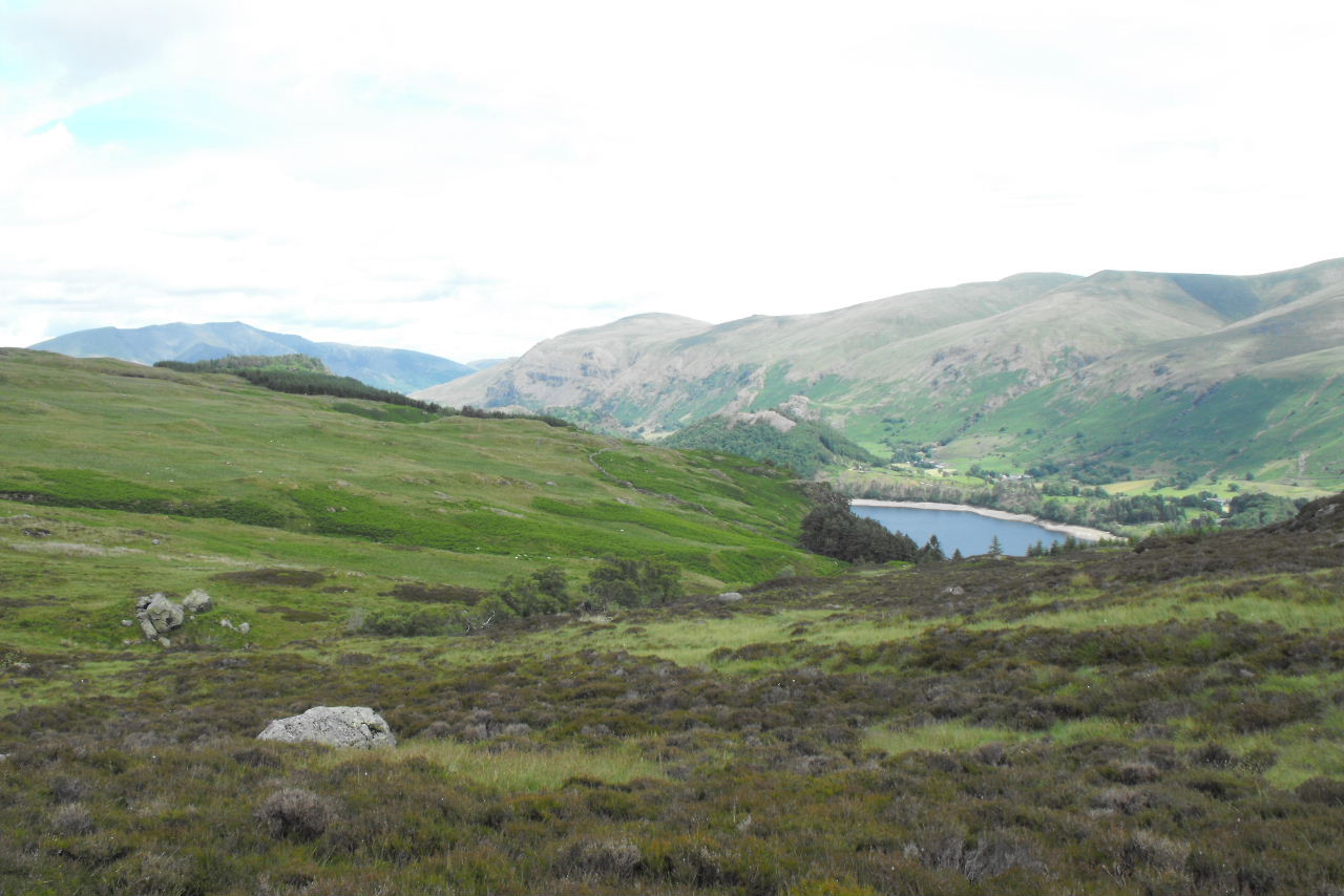
 Thirlmere with Blencathra in the distance
 Approaching the summit the landscape is only distinctive for the marsh & the summit crag seems to whimper above it
 The summit & cairn of Armboth Fell (479m) with Ullscarf in the distance
 Ritual summit photo (our 150th)
 Zooming in on Raven Crag our next summit with Blencathra in the background
 Whilst we sat & had 5mins rest at the summit Crag decided he was bored as there was a lack of sticks up here, so heather will do second best. If only he could uproot some!
Bess however had found a stick & was guarding it from him
Whilst we sat & had 5mins rest at the summit Crag decided he was bored as there was a lack of sticks up here, so heather will do second best. If only he could uproot some!
Bess however had found a stick & was guarding it from him
 We start back across the marshland, looking back to Armboth Fell
  Crag finds a rocky outcrop to climb onto, guess the wind is blowing towards him, a rare two ear up photo
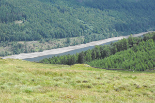
 Some more of Thirlmere comes into view, never seen beaches on it before. We realise re our post yesterday why water is getting desperately low here.
 Deergarth How Island also with beaches
 We have walked a little further than we needed to between fells as we have tried to contour our route (not lose & gain height along the way)
 Navigation spot on, the deerproof kissing gate to Andy's right is our way onto the forest tracks
 Mere Gill
 We follow the forest track around the fell to the start of the climb where we are greeted by an American style waymarker to the summit. The graffiti artist has taken the word permissive off the sign, actually they are wrong, this is not Open Access & there is no public right of way to the summit so it is a permissive path that allows us to the summit.
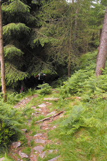
 We head into the forest

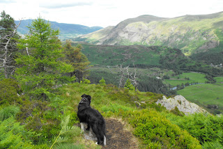
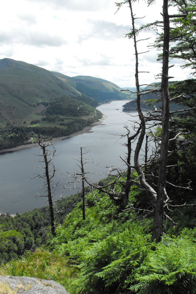
 We reach the summit & are greeted with glorious views along Thirlmere.

 And down on the dam at the northern end of the reservoir
 Across to Clough Head at the northern end of the Helvellyn range. The lower fell (partly in cloud) is High Rigg where we did our navigation assessments.
 Smiling for the camera
 The weight of the world on her shoulders
 Maybe it was just because she saw the camera pointing at her
 The wonky summit photo of Raven Crag (461m)
 Helvellyn Lower Man
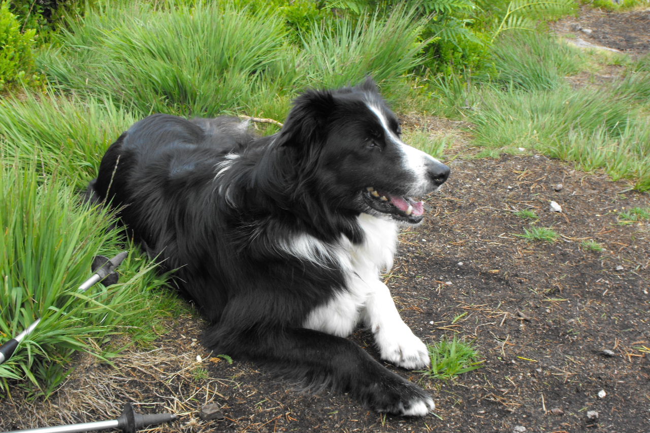
 Bess is quite happy admiring the views though.
 After lunch we retraced our steps back to the signpost.
 And a good easy path to follow down.
 Helvellyn Little Man as we drop lower
 We then walk along Thirlmere (much to the dogs delight who are in the water) back to the car
 Looking down the lake from the shore
 Looking up towards the dam
 Raven Crag is an impressive piece of rock only accessible to the walker from the west side. This picture is taken from Flickr, looking from the dam at the fell from the east side.

 The summit is one of the peaks over there
 Thirlmere with Blencathra in the distance
 Approaching the summit the landscape is only distinctive for the marsh & the summit crag seems to whimper above it
 The summit & cairn of Armboth Fell (479m) with Ullscarf in the distance
 Ritual summit photo (our 150th)
 Zooming in on Raven Crag our next summit with Blencathra in the background
 Whilst we sat & had 5mins rest at the summit Crag decided he was bored as there was a lack of sticks up here, so heather will do second best. If only he could uproot some!
Bess however had found a stick & was guarding it from him
Whilst we sat & had 5mins rest at the summit Crag decided he was bored as there was a lack of sticks up here, so heather will do second best. If only he could uproot some!
Bess however had found a stick & was guarding it from him
 We start back across the marshland, looking back to Armboth Fell
  Crag finds a rocky outcrop to climb onto, guess the wind is blowing towards him, a rare two ear up photo
 Some more of Thirlmere comes into view, never seen beaches on it before. We realise re our post yesterday why water is getting desperately low here.
 Deergarth How Island also with beaches
 We have walked a little further than we needed to between fells as we have tried to contour our route (not lose & gain height along the way)
 Navigation spot on, the deerproof kissing gate to Andy's right is our way onto the forest tracks
 Mere Gill
 We follow the forest track around the fell to the start of the climb where we are greeted by an American style waymarker to the summit. The graffiti artist has taken the word permissive off the sign, actually they are wrong, this is not Open Access & there is no public right of way to the summit so it is a permissive path that allows us to the summit.
 We head into the forest

 We reach the summit & are greeted with glorious views along Thirlmere.
 And down on the dam at the northern end of the reservoir
 Across to Clough Head at the northern end of the Helvellyn range. The lower fell (partly in cloud) is High Rigg where we did our navigation assessments.
 Smiling for the camera
 The weight of the world on her shoulders
 Maybe it was just because she saw the camera pointing at her
 The wonky summit photo of Raven Crag (461m)
 Helvellyn Lower Man
 Bess is quite happy admiring the views though.
 After lunch we retraced our steps back to the signpost.
 And a good easy path to follow down.
 Helvellyn Little Man as we drop lower
 We then walk along Thirlmere (much to the dogs delight who are in the water) back to the car
 Looking down the lake from the shore
 Looking up towards the dam
 Raven Crag is an impressive piece of rock only accessible to the walker from the west side. This picture is taken from Flickr, looking from the dam at the fell from the east side.

A really enjoyable day for all four of us & a wake up call to how low the water levels are in Thirlmere which are 40% down on where they should be this time of year.
After the bridge surveys on Tue & Wed & the walk today think tomorrow will be a rest day.
No comments:
Post a Comment