This week as the weather was forecast to be OK we booked a last minute trip over to Coniston Water. We were staying at Water Yeat at Crake Valley Holiday Park on the recommendation of some of our friends.
We had some bridge surveys to do on the way just outside Ulpha.
We had bright sunshine, walking to the first bridge with Ulpha Fell in the background
The trees starting to take on their autumnal colours
To get to the boardwalk we were surveying we had to cross the River Duddon via some stepping stones. We were glad of the thick wire handrail to help us across

The river was like a millpond here

We find the boardwalk which is in a very boggy section of the path, it also looks like some of it is missing


Karen crossing the river on our return

The next survey was a bridge slightly further up the valley, Caw in the distance

The bridge we have to survey over Tarn Beck

The beck is fed by the quite substantial Seathwaite Tarn & these falls would probably be quite spectacular after heavy rains
One of the span beams is starting to rot, but otherwise the bridge is fine

We then have a short drive to Whinfield Ground to complete the third survey. We spot a couple of deer in the field

Walking across a field to the boardwalk with the Dunnerdale Fells in the distance

This boardwalk has definitely seen better days


The surveys now complete we travel to our destination. This is our cabin aptly named Pillar

After a cuppa we take the dogs over to Coniston Water which is just across the road from the site


Tuesday dawned misty but we could see that it should soon burn off & by the time we left it had lifted, just a little lingering on the lake


We drove to Coniston to start our walk, looking up at The Old Man Of Coniston

Looking down on the old mining cottages, Wetherlam's summit our target for the day is beyond the fell to the right


A panorama of the valley, The Old Man to the left, Brim Fell & Great Carrs

The Old Man & Brim Fell with the quarry workings below

As we climb some haze or mist creeps into the valley

Black Sails, our summit is beyond the fell to the right

Looking down on Coniston Water & the valley is getting quite hazy

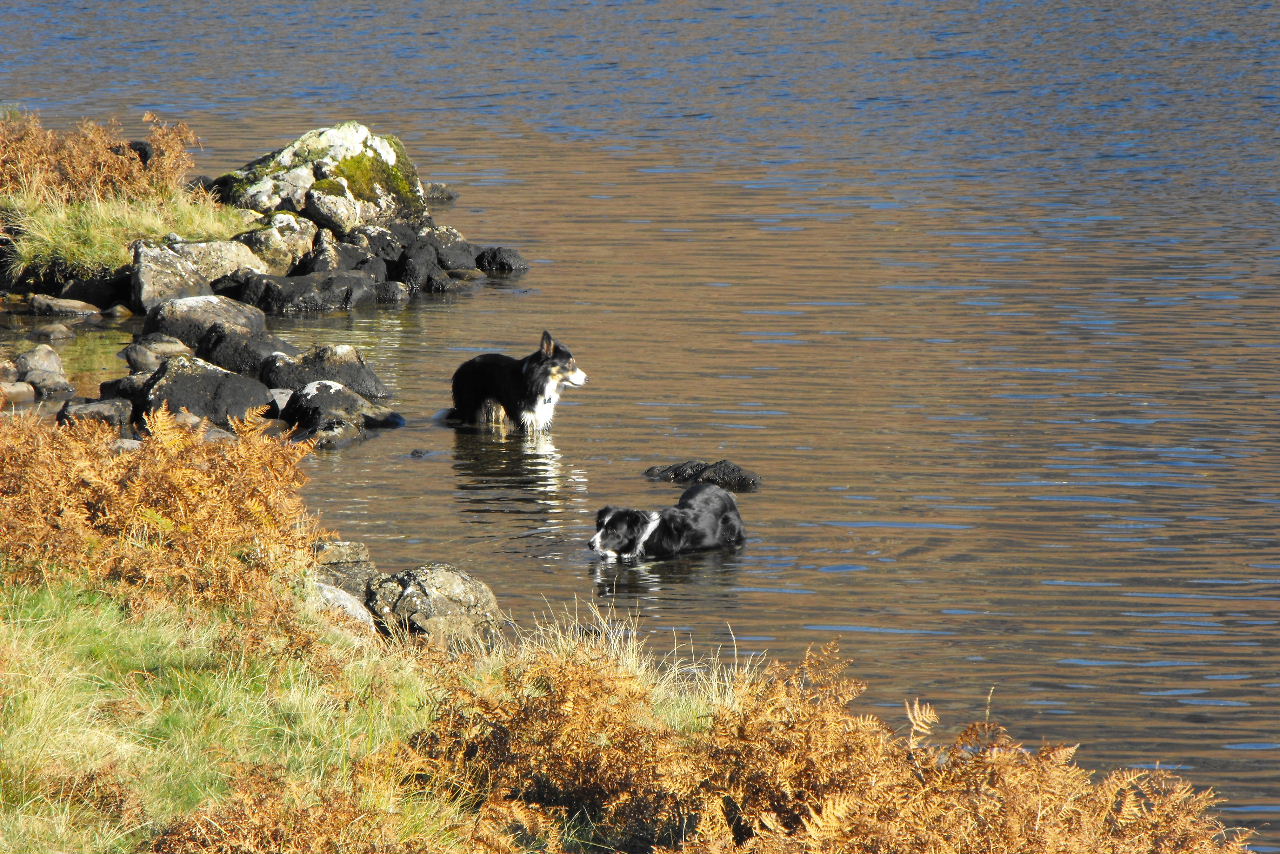
The dogs enjoy a dip in a small tarn along the way

Looking down through the haze onto Lake Windermere

The mist is at about the same height as us, looking over to The Old Man

As we near the summit we spot there is a spectacular cloud inversion in the Wrynose Bottom


From the summit looking north
Sca Fell & Scafell Pike rise above the clouds
Zooming in on Sca Fell
Wetherlam (762m)

The Old Man of Coniston, you can see the mist in the valley here too
Crinkle Crags
The cloud bank is now quite solid below us

Great Carrs

Prison Band & Great Carrs

Looking down on Greenburn Reservoir

Our first glimpse of Levers Water which we are to descend to
Looking back up to Prison Band where we started our descent into the valley

Levers Water as we get closer

A hazy sun casts its shadows across the water


The dogs are straight in


Levers waterfall

Another waterfall on Church Beck

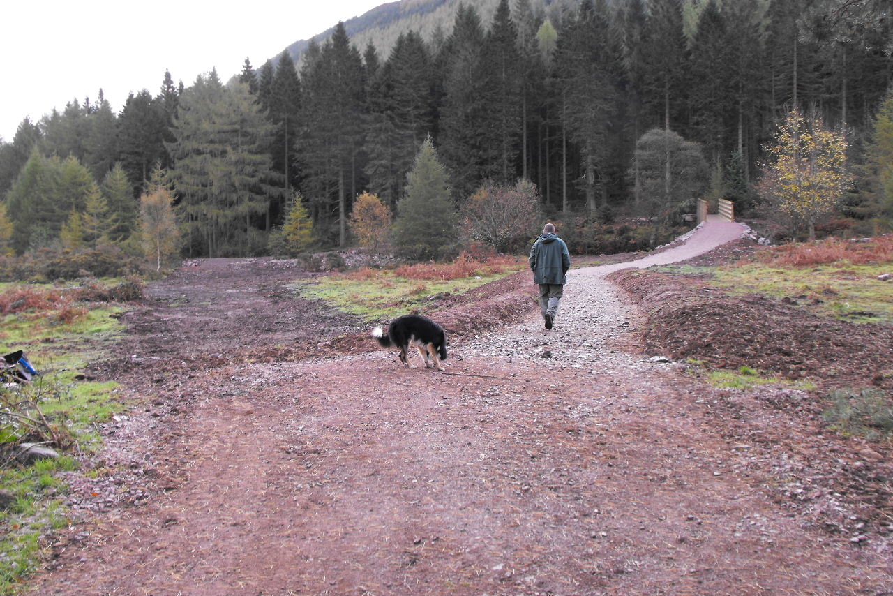
Wednesday was a lot cloudier with the mist quite low so we set off to do the remaining bridge surveys we had bought with us. Starting off in the woods on Broughton Moor

We think these may be shooting huts at the bottom of the valley

Ruins at Appletree Worth

The first bridge is an old pack horse bridge over the Appletree Worth Beck, but we aren't down to survey this


The Knott

Walking along wide forest tracks
This is the first bridge we have to survey over the River Lickle
Any opportunity to play in a river
This bridge is further up the beck & is named Natty Bridge

We then turn back & retrace our steps. As the weather isn't great we stop for a wander around Ambleside & Windermere before catching the ferry over to Faw Sawrey

We have watched the ferry before but never caught it
It is quite a gloomy Windermere in the mist


Thursday was a better day so we drove to Tarn Hows to climb two quite low Wainwrights (in fact we discovered afterwards they are 212 & 213 out of 214 in height)

Cllimbing up into Harry Guards Wood

Looking down on Yew Tree Tarn

We are on quite open moorland as we pick our way to the summit

Looking up at the cairn

From the top, the higher fells are in cloud

Lingmoor Fell

Part of Coniston Water

Wetherlam in the distance that we were up a couple of days before

Holme Fell (317m)

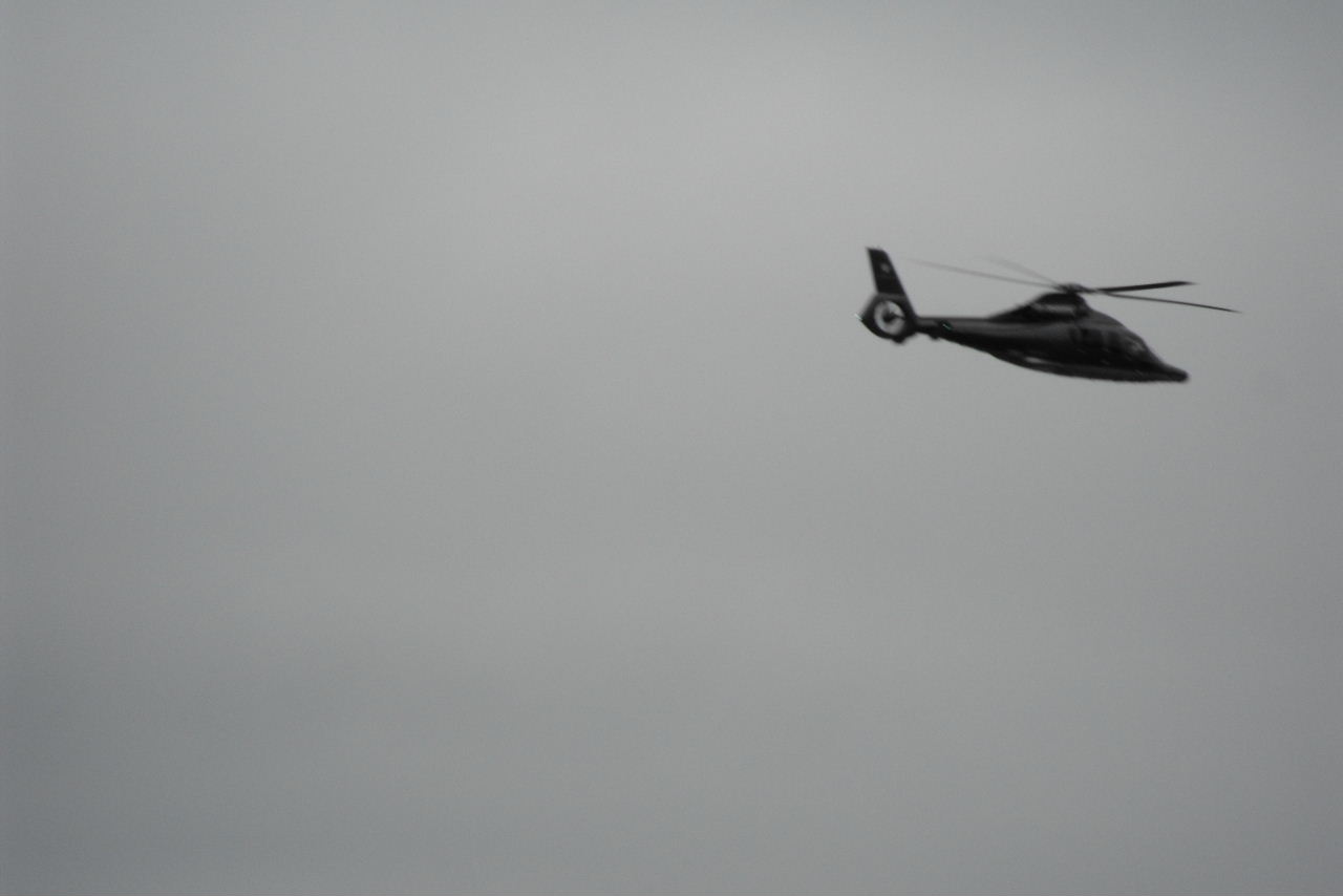
A close flypast from a military helicopter

We drop down to the reservoir below

Looking back up at the summit

Bess investigates the quarry slag heap

And tries to hide amonst this tree

This is quite an impressive still active quarry

The day has brightened up quite a bit, Low Arnside Farm


Looking across to Holme Fell which we have just come off
Our next fell is a cross country route to the skyline

Looking back

A panorama with The Old Man & Wetherlam the highest fells

The cairn & trig point are in view
Ambleside & Lake Windermere

Esthwaite Water

The trig point at the summit

Black Fell (322m) (note this is the whole fells name & the summit is marked at Black Crag)

To complete our loop back to the car we walk along Tarn Hows


Soon we are walking along the waters edge

We come across this stump with 100's of coins pressed into it
More views of Tarn Hows


Then we follow Tom Gill & admire its quite impressive waterfalls


We stop at Coniston Water on the way back where a noisy group of teenagers are tring to row their home made rafts

The bluebird cafe which is being renovated after being damaged in the floods last November

Donald Campbells memorial stone
Do you think we wore them out over the four days?
We had a great few days away, some really enjoyable walks & good accomodation
 Difficult to spot the next one, it is just to the left of Karen's shadow
 Then just beyond Barfield this one
 And then this one
 We cross under the railway just after two engines make their way over the bridge
 Sorry another bridge!
 Black Combe
 Some locals on the other river bank are interested in what we are up to
 The penultimate bridge this one is over the River Annas
 Looking up the river with Black Combe in the distance


 We had laughed at this sign as we walked out of Bootle
 I know this is south of us but Palm Trees?
 We just have four more bridges to survey now which can all be done together & that is them all complete for this year. Good job as we have just been asked to help with the Eskdale footpath surveys along with wildlife cameras & 50 different location photographs in Ennerdale. We have plenty to keep us busy, lets hope the weather stays this good.