Today we were volunteering again this time for The National Park. Our duty today was to erect 5 posts & notices on & around Cat Bells. The notices advise where the Fix The Fells work parties have put new paths in, not quite on the original legal line, but on the line that has been walked over the years. The Park then has to apply for the legal line to be changed to this new path & a bit like planning permission the public have the right over the next 28 days to lodge any objections. After that date the notice needs replacing for a further 42 days to state that no objections have been received & that the legal line is to be changed.
As this is a legal requirement & the notices are going in the papers at the end of the week we had to do this task one day this week.
We had been posted the paper notices but needed firstly to go to the Blencathra Centre to collect the posts, boards & equipment we needed.
We were surprised by how big the posts were, we had thought they were more like stakes than fence posts. We had a hammer with us but that was not going to knock these posts into the ground so borrowed this maul.
We had bought bigger rucksacks, there are three posts in one & the maul & other kit in the other.

The first two were close to where we had parked so we set about these first

We then began our climb up Cat Bells, Skiddaw in the distant haze.

Hindscarth & Robinson

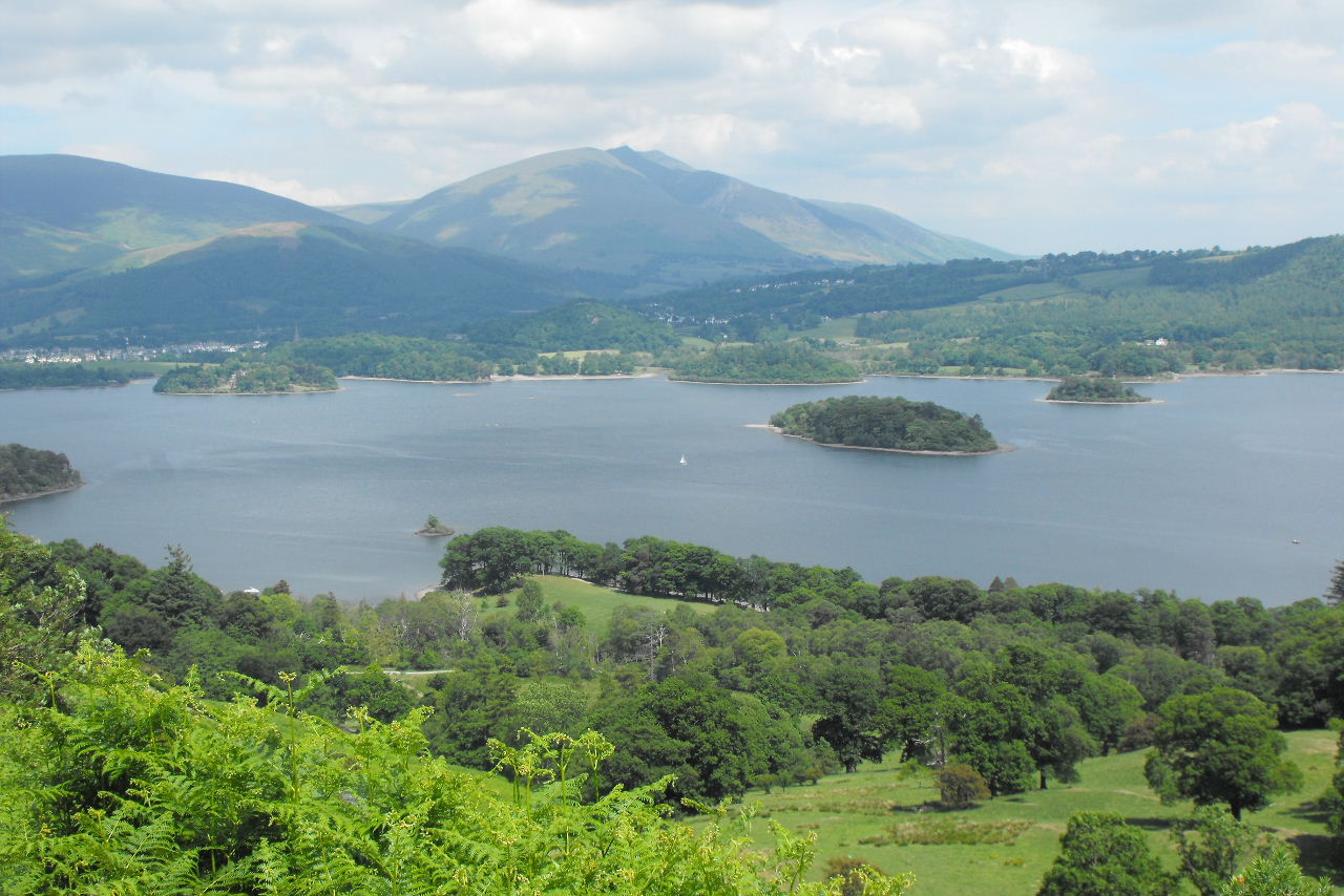
St Herberts Island on Derwent Water

It's quite a slog up the first section even without all the kit we were carrying

And a bit depressing when you see the summit in the distance for the first time (to the left of Skellgill Bank)

But we soon get to the top of Skellgill Bank & the summit doesn't look so difficult

As we approach the summit looking back at where we have walked

At last one of the posts can be put to use & lighten our load

Andy & the maul (we weighed it when we got home & it was a stone)

Who would be daft enough to volunteer to carry that up this high?

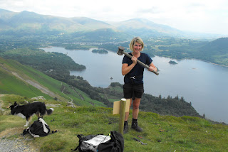
Karen was the lucky one who had it in her rucksack, another post has been put in place, just one more to go.
A launch on Derwent Water

The final one just off the summit where the new path starts

Downhill from here (Walla Crag in the background)

Looking back up the path, our sign is to the left of the path

Blencathra in the distance

We then walk around Cat Bells back to the car, looking up at the summit

The bench in the bottom right of the last picture is dedicated to the writer Sir Hugh Walpole who lived in a house below us

Crag has disappeared in the ferns here as he has found the first running water of the walk & he is trying to drink the stream dry.

Keswick & Derwent Water from a little further down

An enjoyable hard days work, at least when we come back in a month we will only have to change the notices, a staple gun should be the only tool we need to carry.

 The rain had stopped this morning & it was forecast to improve as the day went on
 We walk past where we put the bridge in last week (still no water in the beck though!)
 Someone has gone to some effort building this shelter, it wasn't there last week
 Andy & Malcolm had gone to one end of the path & Bernie & Dave to the other end & we were to meet in the middle.
 Karen using the loppers, it wasn't cold, but there were so many midges she had to cover up.
 Malcolm attacking a tree that was hanging over the path
 These mushrooms look good enough to eat (but we didn't)
 We think this is a Dark Green Fritillary (it has a green hue on its underside)
 We meet up with the others & head for Pillar bridge for lunch
 Bess after Karen's crisps
 Once the food is eaten - playtime
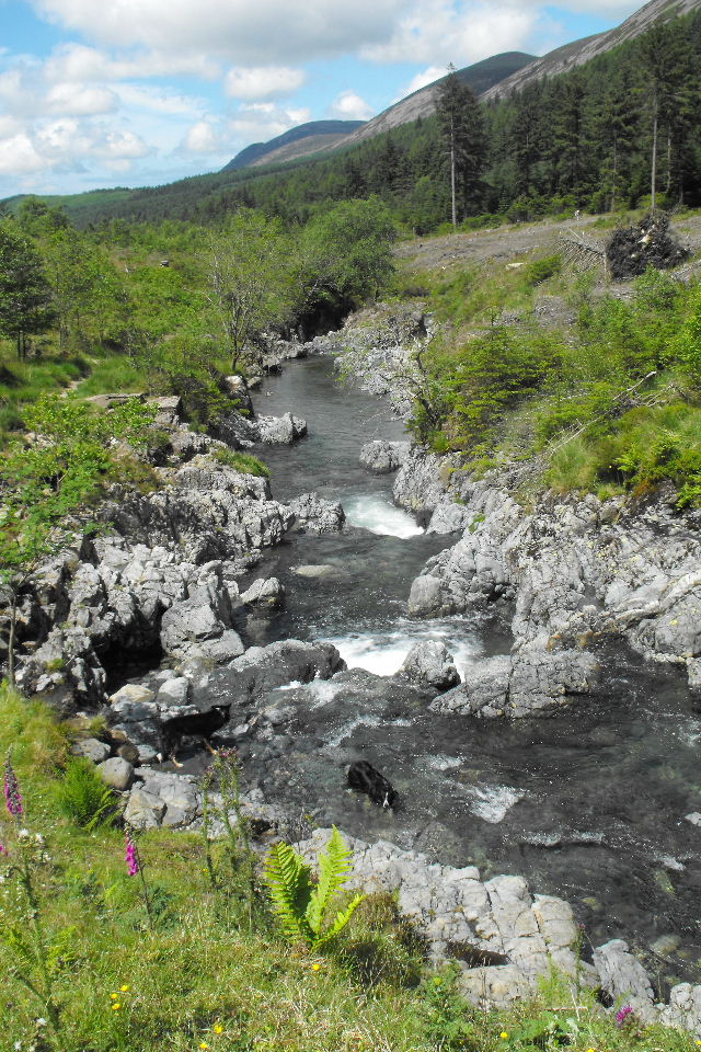
 The day turned out to be a lovely sunny one. Looking down the Liza with Great Borne & Starling Dodd in the distance