The lambs very young here
 Following the River Esk up the valley
 So little water coming off it today
 The first bridge (Lingcove Bridge) comes into view
 We knew there was some damage to this as we had reported it to the Ranger in March before we knew we would be surveying it.

Some of the stone abutment has been dislodged


Strange stalactites hanging from the soffit  Heron Crag
 We managed to cross the river to get over to the other path (otherwise we would have had to walk back to Brotherilkeld), we came across this clump of Primroses
 The other bridge was on Scale Gill, which had a nice waterfall as a backdrop
 Scale Bridge
 The waterfall from down at the beck
 Looking down on the Esk valley through the bridge

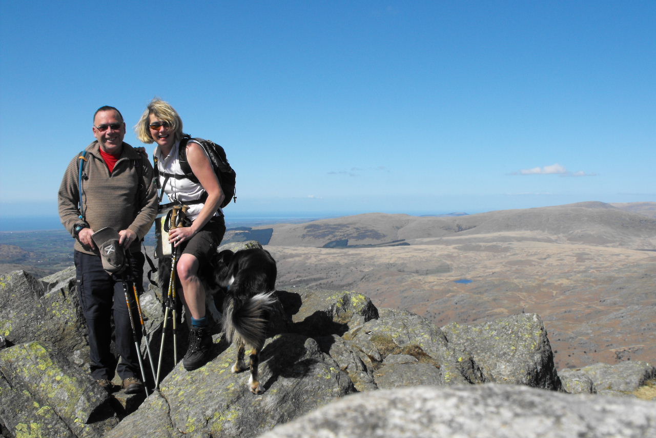
 Andy
Andy

 Heron Crag
 We managed to cross the river to get over to the other path (otherwise we would have had to walk back to Brotherilkeld), we came across this clump of Primroses
 The other bridge was on Scale Gill, which had a nice waterfall as a backdrop
 Scale Bridge
 The waterfall from down at the beck
 Looking down on the Esk valley through the bridge

 Andy
Andy

We just have the bridge (if it exists) at Sineytarn Moss to do & that is Eskdale completed for bridge surveys.